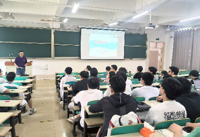
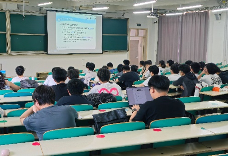
At the invitation of the course group of "Visualization Technology and Application" of the School of Computer Science and Information Engineering, Hefei University of Technology, on the afternoon of May 13, 2025, Associate Professor Xie Cui from the School of Information Science and Engineering, Ocean University of China, gave a wonderful academic lecture entitled "Geographic Information Visualization" online for undergraduate students of the 2022 grade majoring in Computer Science and Technology and Intelligent Science and Technology. All students of the Visualization Technology course attended the lecture on site and actively participated in interactive exchanges.
Professor Xie gave the students a detailed introduction to the technical key points such as geospatial data, map projection and map spatial data visualization in geographic information visualization, and explained the important significance and development history of geographic information visualization. Her explanation not only covered rich theoretical knowledge, but also demonstrated the powerful functions and remarkable effects of geographic information visualization in real life through many common cases in life. The content of the lecture was vivid and interesting, closely combined with reality, and made students develop a strong interest and a deeper understanding of geographic information visualization through the exquisite design of the visualization course.
In the lecture, Professor Xie first explained the characteristics of geospatial data and map projection and the importance of such data information, then analyzed the principles and applications of various geospatial visualization methods in detail in combination with the existing geospatial visualization technologies, guided students to think actively and understand the visualization development idea from points, lines and surfaces to 2D, then to 3D and time attributes in a step-by-step way. She emphasized in the course that in the era of explosive information growth, visualization methods are not only a way to show aesthetic thinking, but also an indispensable means to help users receive and understand data information quickly. Geographic information visualization is becoming more and more important for the analysis and processing of geographic information, and presented successful application cases in marine information mining and analysis. At the end of the course, she encouraged students to actively learn and master these methods, pay attention to the application ideas of visualization technology in life, try to use visualization technology to evolve academic innovation paths, improve scientific research literacy and innovative thinking ability, and meet future challenges.
Introducing high-level off-campus scholars and experts to participate in undergraduate teaching is one of the series of measures for the School of Computer Science and Information Engineering to improve the quality of undergraduate teaching. The teaching plan of expert academic lectures entering the classroom not only improves students' understanding of professional knowledge within the scope of the teaching syllabus, but also helps students continuously broaden their academic horizons and stimulate their enthusiasm for further exploring research fields.
The teaching content of geographic information visualization includes: the concept of geographic data, the concept of map projection, and common geographic data visualization methods, such as point data visualization, line data visualization, regional data visualization, 3D data visualization, time attribute visualization, and successful applications in marine geographic information analysis.
Xie Cui, PhD, Associate Professor, Master's Supervisor, Faculty of Information Science and Engineering, Ocean University of China. Senior Member of China Computer Federation (CCF), served as Secretary and Vice Chairperson of CCF YOCSEF Qingdao Branch Forum from 2013 to 2015 successively. Standing Member of the Virtual Reality and Visualization Professional Committee of China Computer Federation, Member of the Virtual Reality Professional Committee of China Computer Graphics and Image Society, and Member of the Program Committee of China Visualization and Visual Analytics Conference. Her main research fields include data visualization, visual analytics, virtual reality and simulation. She has presided over and participated in more than 20 projects such as the National Natural Science Foundation of China, the National Key R&D Program, the Shandong Provincial Key R&D Fund, the International Cooperation Project of the Ministry of Science and Technology and Qingdao Municipal Science and Technology Projects, and has published more than 40 papers in journals such as Journal of Visualization, Journal of Computer-Aided Design & Computer Graphics, IEEE Transactions on Geoscience and Remote Sensing, Journal of Marine Science and Engineering, and has 7 authorized invention patents as the first inventor.
 TOP
TOP
